12:45 PM
Saturday
1 Nov 2025
Sunrise
7:59am
Sunset
6:22pm
Temperature
52.8°F
Low Today
35.8°F
8:22a
High Today
52.8°F
12:41p
Avg Low
41 °F
Avg High
57 °F
Rec Low
25 °F
1954
Rec High
82 °F
1950
Humidity
62%
Dewpoint
40.1°F
Air feels
comfortable
Rain
1.74" on 10/30
No rain todayMonth to date
0.00 in
Year to date
47.28 in
Wind
Calm
Barometer
30.07 inHg
Rising Slowly
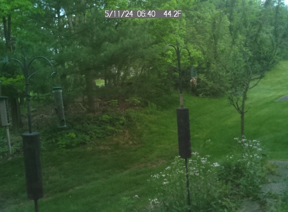
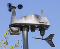
Data in the blue boxes above are updated every five minutes from a wireless Davis Vantage Vue installed August 29, 2017.
Inside: 74.4°F / 40%
Moon: Waxing Gibbous
Moon: Waxing Gibbous
NWS Climate Data Video
NWS Hazards Map
NWS Winter Forecasts
NWS Precipitation Map
NWS Precip Map Day 2
NWS Precip Map Day 3
Weather Fronts
WPC 6-hour PQPF
NWS Temps Change Map
6-10 Day Temp Outlook
Monthly Temp Outlook
6-10 Day Precip Outlook
Monthly Precip Outlook
NWS Weather School
Digital Weather Display
NWS Hazards Map
NWS Winter Forecasts
NWS Precipitation Map
NWS Precip Map Day 2
NWS Precip Map Day 3
Weather Fronts
WPC 6-hour PQPF
NWS Temps Change Map
6-10 Day Temp Outlook
Monthly Temp Outlook
6-10 Day Precip Outlook
Monthly Precip Outlook
NWS Weather School
Digital Weather Display
Glossary of Meteorology
COD Weather Models
NWS Weather Modeling
AI Weather Forecasting
HRRR Weather Model
HRRR Explained
NAM Explained
ECMWF-ENS Explained
National Blend of Models
Tropical Tidbits
Forecast Tools
Pivotal Weather
GenCast AI Modeling
Atmospheric Rivers
Climate.gov
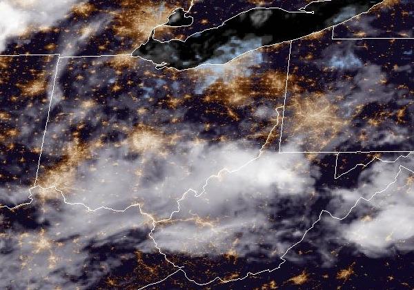
GOES-East Satellite
GOES-West Satellite
COD Weather Models
NWS Weather Modeling
AI Weather Forecasting
HRRR Weather Model
HRRR Explained
NAM Explained
ECMWF-ENS Explained
National Blend of Models
Tropical Tidbits
Forecast Tools
Pivotal Weather
GenCast AI Modeling
Atmospheric Rivers
Climate.gov
GOES-East Satellite
GOES-West Satellite
Click or tap for a detailed NWS 7-day Forecast
Today: Partly sunny, with a high near 54. West wind 6 to 10 mph.
Tonight: Partly cloudy, with a low around 34. Southwest wind 2 to 6 mph.
Sunday: Sunny, with a high near 56. South wind 2 to 6 mph.
Sunday Night: Mostly clear, with a low around 39. South wind 3 to 8 mph.
Monday: A slight chance of rain after 1pm. Mostly sunny, with a high near 56. Southwest wind 8 to 16 mph, with gusts as high as 30 mph. Chance of precipitation is 20%.
Monday Night: A slight chance of rain before 7pm. Mostly clear, with a low around 37. Chance of precipitation is 20%.
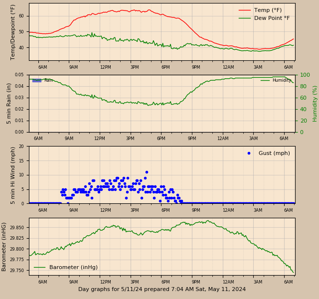
Graphs above are updated every 5 minutes by a Python program using Matplotlib routines running on a Raspberry Pi 4 computer.
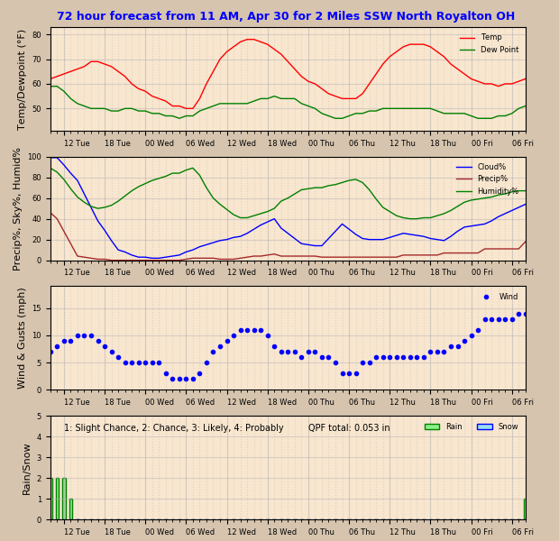
The forecast graphs above are prepared at 58 minutes after each hour. Hours between sunset and sunrise are shaded. Graphs are based on data in a json file downloaded from https://api.weather.gov/gridpoints/CLE/82,55. NEXT 7 DAYS